This page contains a lot of graphics.
Please be patient while it loads.
Please do not link directly to any of
the graphics on this site. I am always moving and rearranging things and
it may not be here next week! Right click on the graphic you wish to use
and then choose save as from the pop-up menu. Save the file in My
Documents on your computer or on a disc. You may then upload the file onto
your server or into your account and use it wherever you wish.
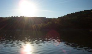
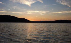
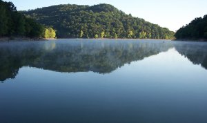
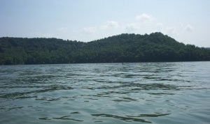
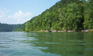
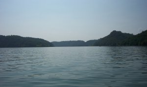
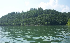
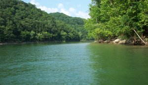
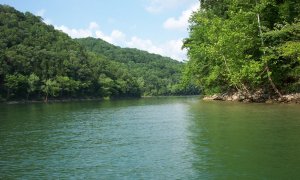
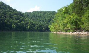
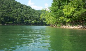
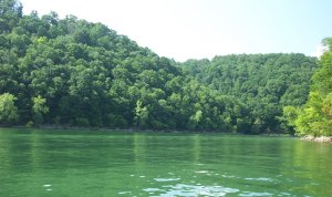
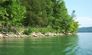
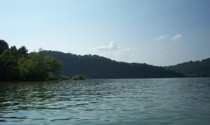
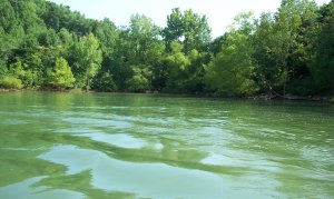
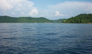
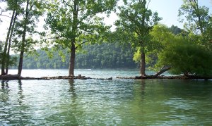
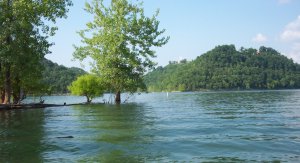
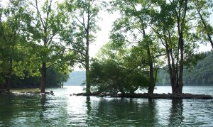
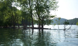
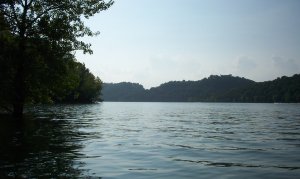
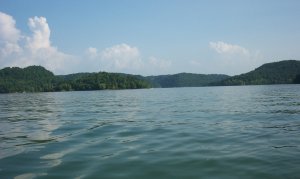
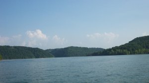
These pictures of Center Hill Lake were taken by me personally with a Kodak
DX3500 Digital Camera and may not be reproduced or used for any commercial
purposes without permission! They may,
however, be used on noncommercial internet sites with a link back to memeart.
You may use the "MemeArt" button below.
Link it to:
"https://memeart.tripod.com/"
Center Hill Lake is located in middle Tennessee in the Cumberland Mountains nestled among beautiful rolling hills. Counties
surrounding the lake include Smith, Putnam, DeKalb, Warren and White Counties. The major tributaries flowing into Center
Hill Lake are the Caney Fork River, Collins River, Rocky River, and the Falling Water.
Extending 64 miles upstream and covering an area of 18,220 square acres, Center Hill Lake has a storage capacity of 762,000
acre feet of water. The lake has aproximately 415 miles of shoreline, with a maximum depth of 190 feet. The water shed area
for the lake is 2,174 square miles. Center Hill lake was constructed by the U.S. Army Corps of Engineers in 1949 and was
built as a multi-purpose project for development of water resources including electricity production and flood control.
There are three state parks on Center Hill Lake, and nine recreation areas ran by the Army Corps of Engineers.
For more information about Center Hill Lake, click here.


![[HOME]](https://memeart.tripod.com/cliparthome.gif)
![[MAIL]](https://memeart.tripod.com/clipartmail.gif)
![[SIGN GUESTBOOK]](https://memeart.tripod.com/clipartsign.gif)
![[VIEW GUESTBOOK]](https://memeart.tripod.com/clipartview.gif)
![[WEEKLY DEVOTION]](https://memeart.tripod.com/clipartdevo.gif)
![[WEEKLY BIBLE STUDY]](https://memeart.tripod.com/clipartBS.gif)
![[Meme's Midis]](https://memeart.tripod.com/clipartMM.gif)
![[FRIENDSHIP GREETINGS]](https://memeart.tripod.com/clipartFG.gif)